More Than 1,600 Kilometers of Coastline to Explore
A long coast creates room for very different beaches, fishing towns, islands and water activities across the country.
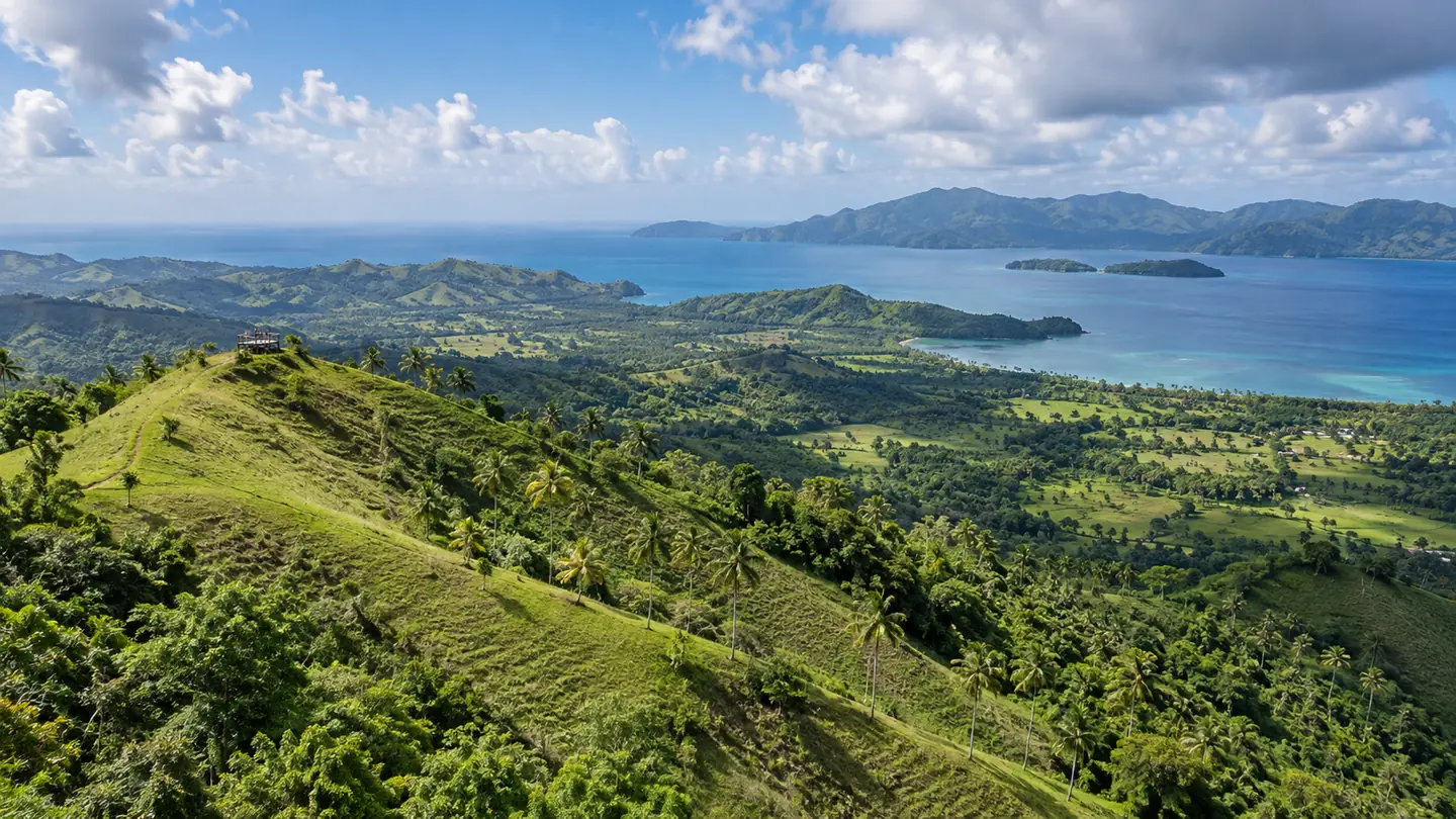
The Dominican Republic’s official travel FAQ describes more than 1,600 kilometers of coastline along the north, east and southern borders. That scale helps explain the variety within a single island destination.
A country built around the sea
The coastline stretches past resort beaches into fishing villages, rocky headlands, mangrove estuaries, offshore islands and remote protected shores. Punta Cana, Bayahíbe, Samaná, Puerto Plata, Montecristi and Pedernales each offer a different relationship with the water.
Distance is the practical side of that variety. A map can make two coastal places look close while their road connections are long, winding or dependent on a boat. Check the route before scheduling a day across provinces.
Explore one coast at a time
For a short trip, choose a main region and add nearby day outings. For a longer vacation, plan a north-coast stay and an eastern or southern stay rather than spending the whole holiday in transit.
The number is a useful reminder that no single beach represents the country. Travelers can look beyond the most familiar resort strip and find local communities, protected ecosystems and marine landscapes across the island.
Краткие советы по планированию
- Group nearby coastal stops by region.
- Check road and boat connections before booking multiple destinations.
- Ask local guides about current swimming and sea conditions.
Открытые источники
Открытые источники о направлениях и культуре проверены 23 октября 2026 года. Условия доступа, расписание и требования к поездке могут меняться; уточняйте актуальные сведения у соответствующего ведомства или оператора.