
Santo Domingo’s Street Grid Became a Model Across the Americas
UNESCO describes the Colonial City’s preserved plan as an early urban model that influenced cities across the Americas.
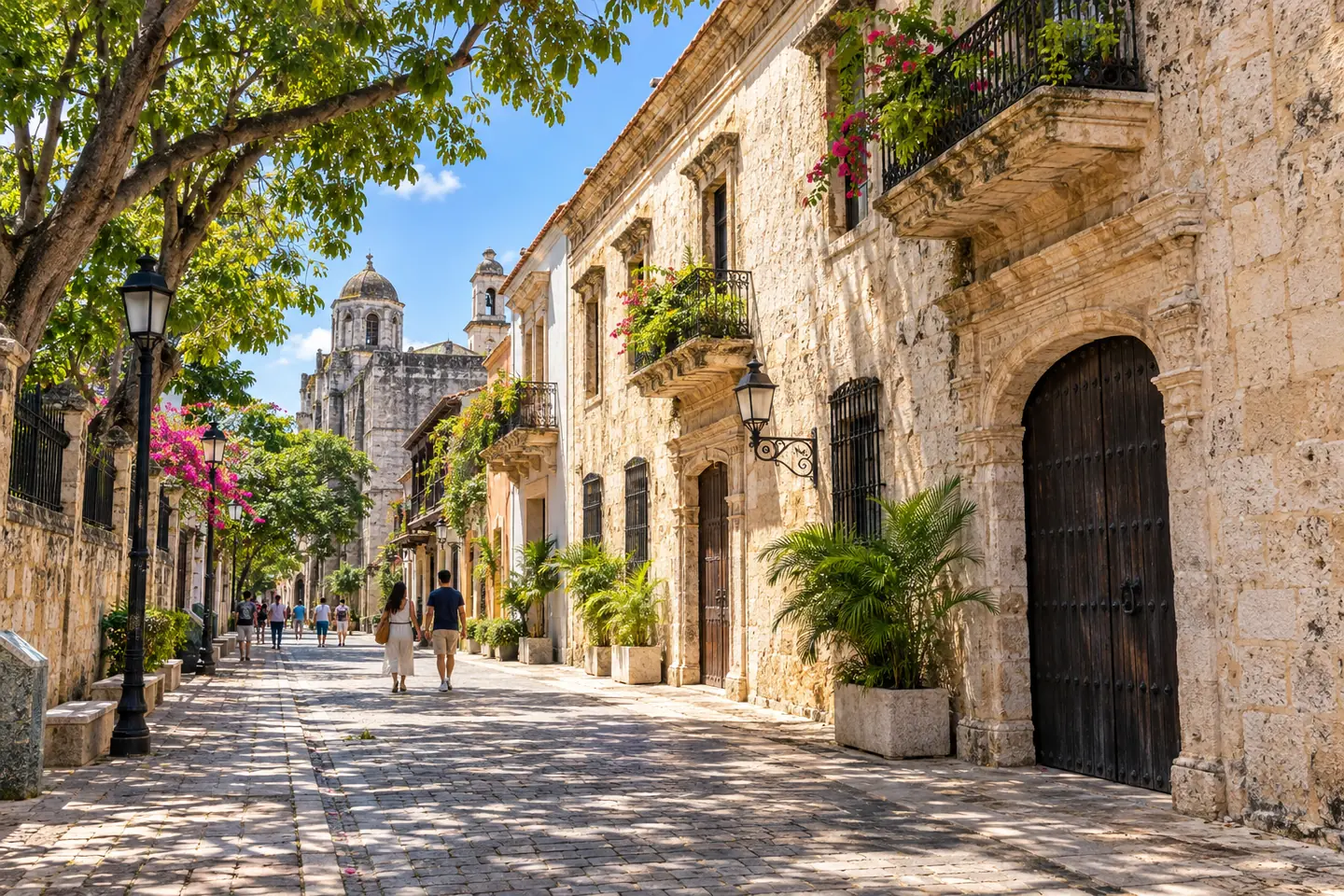
Santo Domingo’s Colonial City is more than a collection of old buildings. UNESCO highlights its early grid plan and plaza layout as an influential model in the development of cities across the Americas.
A planned city with a long afterlife
The historic center was established on the east side of the Ozama River in 1496 and later moved to the west bank, where a grid plan took shape around the main plaza. UNESCO says that this layout became a reference for town planning in much of the New World.
The same pattern is still visible today in streets, blocks and public spaces. Walking a few blocks can show how the plan links civic buildings, religious sites, homes and commercial streets into a coherent urban fabric.
Why it matters to visitors
The Colonial City is a living district, so the best visit balances history with the rhythms of present-day Santo Domingo. Look at building details, stop for a local meal and respect that people still live and work in the area.
UNESCO inscribed the Colonial City in 1990. Travelers can use the official heritage page to understand what is protected before visiting museums, plazas and historic landmarks.
Consigli rapidi per pianificare
- Walk with a guide if you want the historical sequence explained clearly.
- Check museum opening hours and restoration notices before your visit.
- Stay hydrated and take breaks in the warm city climate.
Fonti pubbliche
Fonti pubbliche su destinazioni e cultura consultate il 23 ottobre 2026. Accesso, orari, condizioni e requisiti di viaggio possono cambiare; verifica le informazioni aggiornate con l’autorità o l’operatore competente.