Los Haitises Means Mountainous Land in Taíno
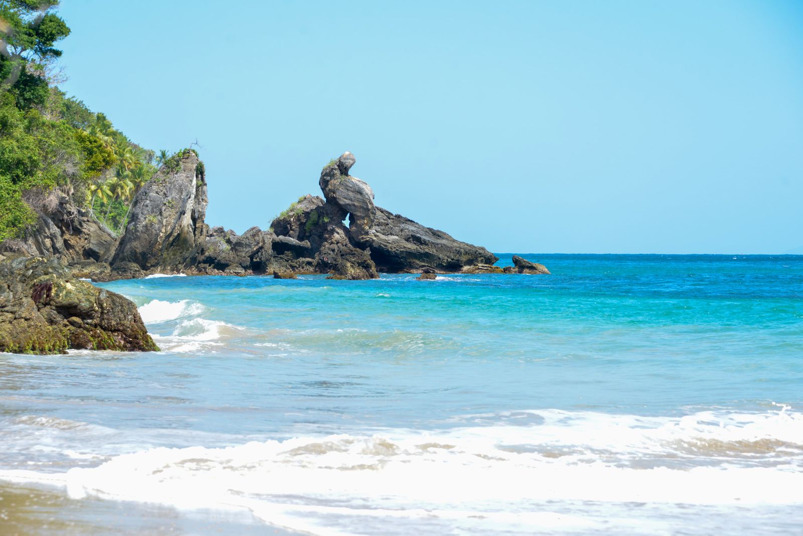
The park’s name points to the rolling limestone formations that rise from mangrove-lined water in the northeast.
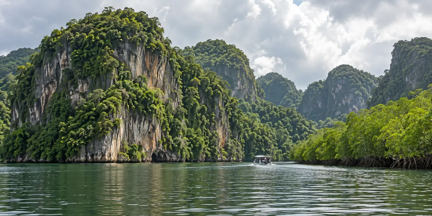
The name Los Haitises is linked to the Taíno word for mountainous land, a fitting description for the park’s distinctive limestone hills rising above the water.
A landscape made of contrast
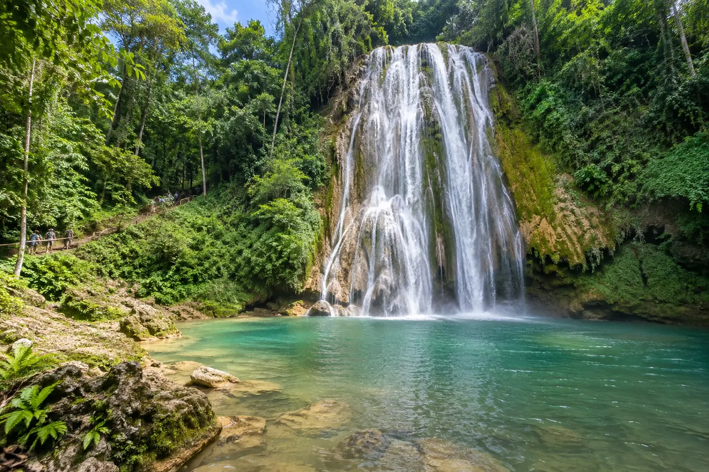
The Dominican tourism authority describes a park of karst formations, mangrove forests, small cays, rainforest, birds and caves. From a boat, the mogotes appear as green islands with steep sides; from a trail, the forest and wetland details become more visible.
Los Haitises is also culturally important. Its caves contain petroglyphs and pictographs, so the landscape carries traces of people who lived on the island long before today’s tourism routes.
Nature and history share the same space
Visitors can see why the park is more than scenery: geology, wildlife and human history overlap. Use an authorized route, follow your guide and protect cave art by never touching or marking rock surfaces.
The Environment Ministry publishes official information and notices about protected areas. Current access can differ by site, so check before traveling rather than relying on a photo or an old tour itinerary.
Conseils pratiques
- Choose a guide who explains both ecology and cultural history.
- Do not touch cave art or leave marked paths.
- Check current protected-area notices before departure.
Sources publiques
- Dominican Republic Tourism: Los Haitises National Park
- Dominican Ministry of Environment: Los Haitises
Sources publiques sur les destinations et la culture consultées le 23 octobre 2026. L’accès, les horaires, les conditions et les formalités de voyage peuvent changer ; vérifiez les informations à jour auprès de l’autorité ou de l’opérateur concerné.